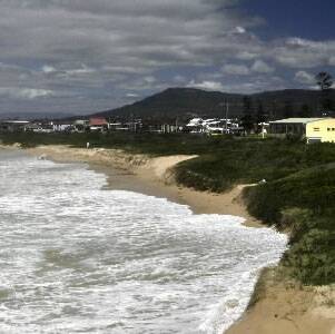
Erosion and water inundation will threaten surf clubs and homes along the north Wollongong coast when rising sea levels hit, a council report has revealed.Wollongong City Council yesterday released details of its coastal zone study, which shows the homes and landmarks to be worst impacted by the combination of a sea level rise and a one-in-100-year ocean storm.More than 1700 properties will be impacted by ocean inundation over the next 90 years while almost 1300 will suffer geotechnical problems.The Austinmer boat harbour car park and Thirroul's surf club and salt water pool are already considered an immediate erosion threat. Bulli surf club is now at risk of reduced foundation capacity.By 2050, the foundations of surf clubs at Woonona, Coledale, Sandon Point and Austinmer could also be damaged as a result of rising seas, while homes at Beach Dr, Woonona, would be under the immediate threat of ocean inundation.WIN Stadium, Wollongong Golf Course and the Coledale Tourist Park all sit close to areas at risk from rising seas.Bellambi, Sandon Point and the shores of Lake Illawarra are also exposed to ocean inundation, while landslips are expected to become more frequent on the cliffs and headlands north of Bulli.The study adopted State Government estimates of a 40cm sea level rise by 2050 and 90cm by 2100.More than 2600 properties across Wollongong could be affected by rising sea levels within the next 90 years, 1779 of them privately owned.Affected properties will now have details of the coastal zone study noted on their planning certificates.The council will next month begin consulting with the community to prepare a plan to manage the coastal hazards.Following completion of the study, development restrictions in affected areas may apply.All but 381 privately owned properties identified in the report are already subject to geotechnical and flooding constraints.The first information session detailing the report's findings was held last night at the council's Burelli St headquarters.Further sessions will be held at Dapto, Thirroul and Corrimal from tonight until Thursday.The study is expected to be tabled at the next council meeting on July 27 to be endorsed by administrators. The coastal zone management plan is expected to be completed by the end of next year.
Subscribe now for unlimited access.
$0/
(min cost $0)
or signup to continue reading

