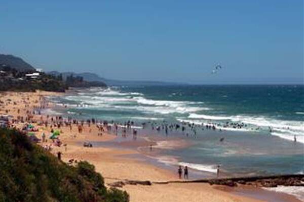
Surf clubs, ocean pools, low-lying houses and Wollongong’s beaches themselves are the assets most at risk from sea level rises.How best to save them - if need be - is the focus of a new coastal management plan released for public comment by Wollongong City Council.The plan considers the potential risk from a combination of sea level rises, erosion, geotechnical instability and storm or flood events from Stanwell Park to Lake Illawarra.Options for managing the coast include protection, ‘‘nourishing’’ beaches by adding more sand, a ‘‘planned retreat’’ as the waterline advances inland, sea wall construction, and a ‘‘no regrets’’ model that involves sea wall and stormwater audits.Residents will be able to give feedback on the plan at a series of public meetings next month, and all property owners whose houses could be affected will be contacted.Most beaches around Wollongong are assessed as being at low risk of inundation at present, but this is forecast to become a high or extreme risk of erosion by 2050.Wollongong City Council manager of environmental strategy and planning Renee Campbell said residents had already made clear the high value they placed on the region’s beaches, saying they would prefer the beaches ‘‘retreat’’ inland than be lost.‘‘We’ve had a couple of community meetings already in the preparation of [the] plan,’’ she said.‘‘The general community at those meetings strongly felt that the local beaches really define the coastal character of Wollongong, and if coastal erosion and recession did occur, then the beaches must not be allowed to be lost, but be allowed to retreat.‘‘That indicated a preference for the coastal retreat option.’’This could involve accepting the loss of land following a ‘‘hazard event’’ and making repairs as necessary to ensure safety.Ms Campbell said the risk management plan was based on NSW Government sea level predictions of a 40cm rise by 2050 and a 90cm rise by 2100, on top of 1990 mean sea levels.Areas where houses may be most at risk include Woonona, where 80 beachside residential properties are assessed as being at either high or extreme risk of erosion by 2050.Houses directly behind Thirroul Beach, as well as those at Windang and Warilla on the shores of Lake Illawarra are also among those facing the most risk.Also potentially at risk are infrastructure including roads and stormwater facilities, and ocean pools.Surf clubs including North Beach, Thirroul, Bulli and Woonona are regarded as being at either high or extreme risk of inundation, or damage from erosion, by 2050.The council plans to spend $40million on managing coastal assets between now and the year 2100.The risk management plan followed on from a 2010 Cardno study which found 2684 properties at risk, 1779 of them privately owned.‘‘The majority of the properties already have development controls in place that we apply via the development control plan for geotechnical assessment or flood plain management,’’ Ms Campbell said.Visit www.wollongong.nsw.gov.au for public meeting times and the draft plan itself.
Subscribe now for unlimited access.
$0/
(min cost $0)
or signup to continue reading

